Land and Forest Monitoring
Cover large areas while actively detecting heat sources and reporting them to the nearest fire fighting team. Detect ilicit activity and more in daylight or at night.

Convoy Escort and Support
Provide aerial cover throughout a planned route or alternate path, prevent ilicit activities by identifying abnormal conditions or events en-route.
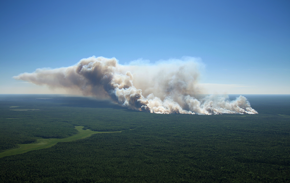
Fire Detection
Detect fires before they spread or become uncontrollable. Our ovmonitoring while actively detecting heat sources and reporting them to the nearest fire fighting team. Detect ilicit activity and more in daylight or at night.
Land and forest monitoring
Your content goes here. Edit or remove this text inline or in the module Content settings. You can also style every aspect of this content in the module Design settings and even apply custom CSS to this text in the module Advanced settings.
Convoy escort and support
Your content goes here. Edit or remove this text inline or in the module Content settings. You can also style every aspect of this content in the module Design settings and even apply custom CSS to this text in the module Advanced settings.
Fire detection
Your content goes here. Edit or remove this text inline or in the module Content settings. You can also style every aspect of this content in the module Design settings and even apply custom CSS to this text in the module Advanced settings.
Non scheduled events
Your content goes here. Edit or remove this text inline or in the module Content settings. You can also style every aspect of this content in the module Design settings and even apply custom CSS to this text in the module Advanced settings.
Aerial operations support
Your content goes here. Edit or remove this text inline or in the module Content settings. You can also style every aspect of this content in the module Design settings and even apply custom CSS to this text in the module Advanced settings.


The Most Comprehensive Solutions
A Complete Package including Remote Aerial Surveying, Real-Time Mapping & Detailed Recommendations.
Let your operation benefit from our powerful aerial and land GPS tracking and analytics platform.
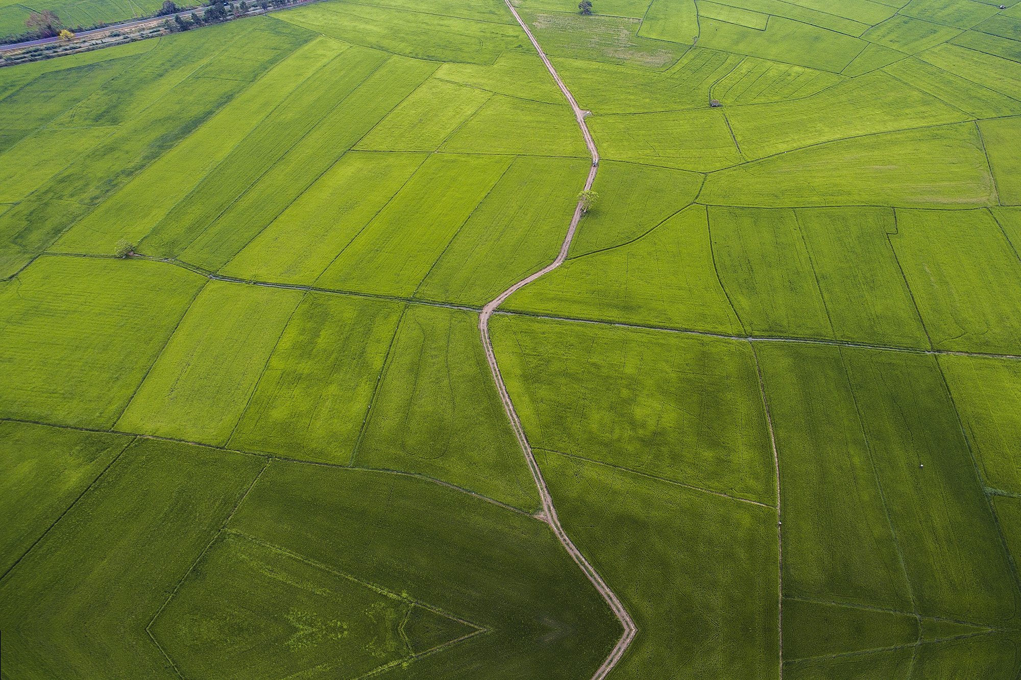
Remotely Monitor Plants
Quickly identify areas of dead loss, monitor growth output.
Blog Corner
News
